<small | big >
 |
These photographs enlarge to either of two sizes. Click
on the left half of any thumbnail picture to enlarge to about
400 pixels wide, click on the right side to enlarge to 800 pixels
wide.
<Left Column
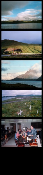
- A beautiful view of Kuluk Bay.
- The Fuel Pier, west end of Sweeper Cove and adjacent to Roberts
Housing (just out of sight to the right).
- From the same location north of the Fuel Pier, near the Traffic
Circle, a view of Razorback Mountain.
- The Pet Cemetary near the Adak National Forest. View southward
across the Navfac and east end of the runway; Kuluk beach on
the left.
- Dining, probably in Bob Reeve High School cafeteria.
Right Column>
- Looking down runway 4 (40 degrees magnetic) toward Great
Sitkin Volcano. It erupted in September or October of 1973. (Thanks
to Scott "Andy" Burkett for date info, I'll get some
cross links eventually to photos of the eruption).
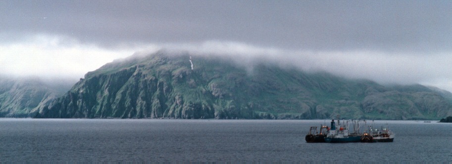
- Zeto Point as seen from (probably) Command Car Hill, view
east (and a tiny bit south). This is a magnificent photograph,
very dark and moody, very typical of Adak.
- The barracks at Commsta/NSGA, the northwest end looking more
or less southwest. Directions didn't mean too much so this is
the "uphill" end farthest away from the road to downtown.
- The road to downtown from Commsta/NSGA. Clam Lagoon is the
body of water on the left side.
- Mount Moffett, apparently from the flat land that once held
Mitchell Airfield and later, at the east end of it, held the
"dinosaur cage" (Wullen-Webber circular direction finding
HF antenna array also known as the "Shotgun" even though
a shotgun antenna is really a multi-element Yagi or stacked cubical
quads).
- This is the building that was at the center of the Shotgun.
The antenna array is gone, but the shell of the building remains.
|
 |